620 billion dollars represents the forecasted value for the global spatial computing market by the end of 2032. This massive figure signals a fundamental shift in how capital flows into the technology sector. Investors are focusing on the next great computing paradigm instead of traditional smartphones. The era of the PC is evolving, and the era of spatial interaction has arrived.
An Intimate Examination Of The New Reality
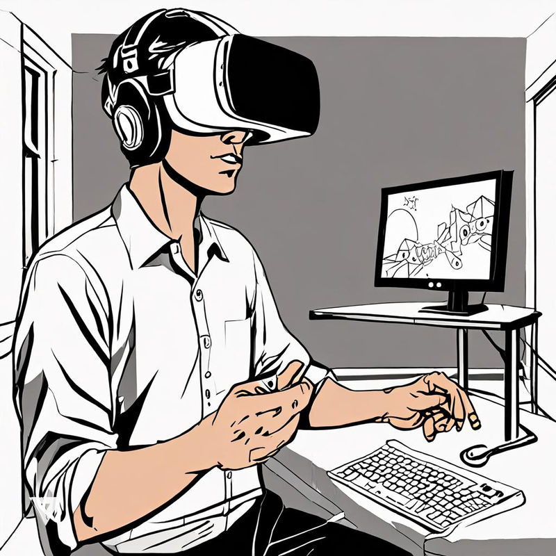
Spatial computing fuses our physical and digital worlds into a single interactive environment.
This technology represents the next stage of human-computer interaction beyond the flat 2D screen. Digital objects occupy specific 3D coordinates within the real world, allowing spatial computing to transform the surrounding environment into a smart interface. Information lives within the user’s space, where virtual elements are perceived through natural interaction.
Historical Milestones Of The Spatial Era
Researcher Simon Greenwold introduced the term in 2003 while working at the MIT Media Lab. This concept gained significant global traction in 2024 when Apple released the Vision Pro headset.
The historical evolution of these tools follows two distinct paths: geospatial mapping and mixed reality. Geospatial computing focuses on physical mapping, while mixed reality enables hybrid interactions. Scientists have pursued this idea for over two decades to add a persistent digital layer on top of reality.
Unexpected Applications For Advanced Spatial Tools
- Mechanics use spatial overlays to see internal engine parts without removing any bolts.
- Digital art galleries now occupy city parks where people view invisible sculptures through headsets.
- Remote experts guide field technicians by drawing instructions directly onto the technician’s physical view.
- Smart homes adjust lighting based on the 3D position of people within a room.
- Architects walk through virtual buildings on empty construction sites to identify potential design flaws.
Physical Presence Meets High Speed Logic
Systems understand their surroundings by using computer vision sensors and LiDAR arrays. These sensors recognize surfaces and measure distances to build accurate 3D maps.
Specialized hardware determines the shape and volume of objects to ensure realistic digital placement. While the metaverse served as an early stage for these technologies, industries like manufacturing and healthcare have now integrated these tools for practical, physical awareness.
The Vital Role Of Geospatial Infrastructure
Spatial computing relies heavily on geographic information systems for accuracy.
Data from Esri shows that spatial anchors require precise coordinate systems to remain stable. Without this geospatial foundation, virtual objects would drift and lose their connection to the physical world. The merger of mapping and visual overlays creates a robust framework for industrial applications, catering to the way humans naturally interact with a 3D world.
Projected Efficiency Gains In Key Global Sectors
| Industry Sector | Primary Application | Efficiency Increase |
|---|---|---|
| Logistics | Spatial Sorting | 18 percent |
| Healthcare | Surgical Mapping | 25 percent |
| Construction | Blueprint Overlays | 28 percent |
| Aerospace | Cockpit Training | 40 percent |
The industry is currently seeing a massive surge in spatial application development.
The W3C continues to develop universal spatial web protocols that allow headsets to process complex geometry without heavy cables. Furthermore, partnerships between companies like Samsung and Google to develop new spatial operating systems signal a unified push toward the hardware of the future.
Mixed reality developers have released numerous productivity tools this year alone, demonstrating that the spatial computing trend is accelerating at an incredible pace.
Have thoughts on this article?
Send your feedback. Spotted a factual error or typo? Use this form to let us know. We use your feedback to improve our reporting. Thank you!